Langemark-Poelkapelle, West-V.
Dochy Farm New British Cemetery is located 7 kilometres north-east of Ieper town centre on the Zonnebekestraat, a road leading from the Zonnebeekseweg (N332) connecting Ieper to Zonnebeke. Two roads connect Ieper town centre onto the Zonnebeekseweg. The Torhoutstraat leads from the market square onto a small roundabout. Take the first right turn which is Basculestraat. At the end of Basculestraat there is a crossroads and Zonnebeekseweg is the turning to the left. 7 kilometres along the Zonnebeekseweg, in the village of Zonnebeke, lies the left hand turning onto the Langemarkstraat (further on this street name changes to Zonnebekestraat). The cemetery lies 1.5 kilometres along this road on the left hand side.
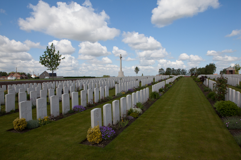
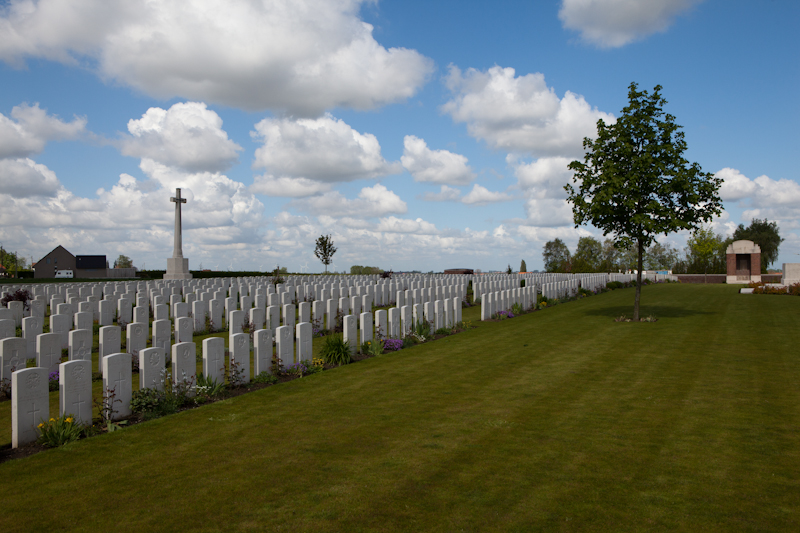
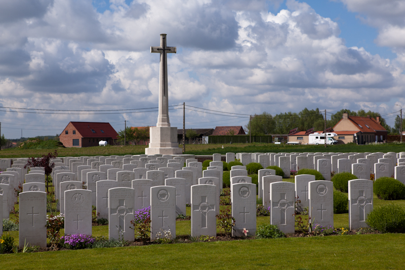
Dochy Farm, which had become a German strong point, was taken by the 4th New Zealand Brigade on 4 October 1917, in the Battle of Broodseinde. The cemetery was made after the Armistice when isolated graves were brought in from the battlefields of Boesinghe, St. Julien, Frezenberg and Passchendaele. The cemetery now contains 1,439 burials and commemorations of the First World War. 958 of the burials are unidentified but special memorials commemorate two casualties believed to be buried among them. The cemetery was designed by Sir Reginald Blomfield.
Add new comment