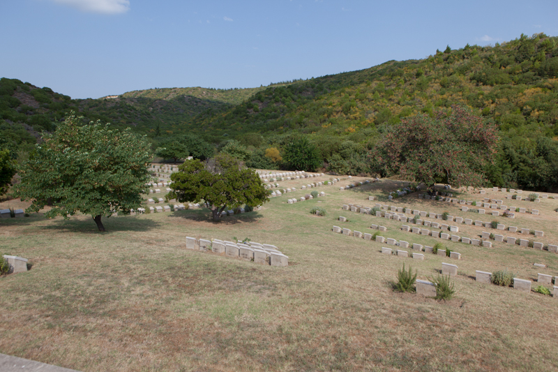

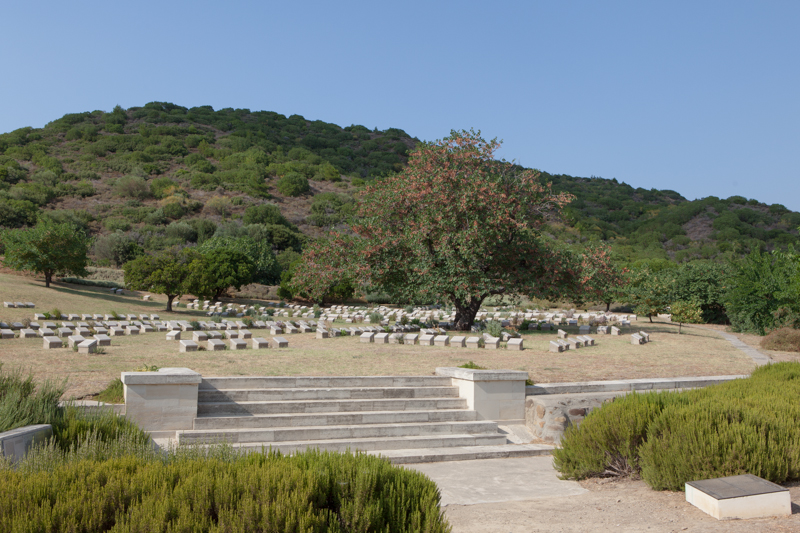
The Anzac and Sulva cemeteries are first signposted from the left hand junction of the Eceabat - Bigali Road. From this junction you travel into the main Anzac area. After 10.1 km's you take a right turn along a short track to find the cemetery on your left. Shrapnel Valley (or Shrapnel Gully) runs from the west side of the Lone Pine Plateau, behind Maclagan's Ridge, south-westwards to the sea near Hell Spit (Queensland Point).
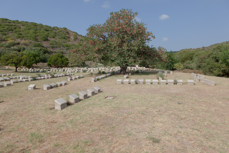
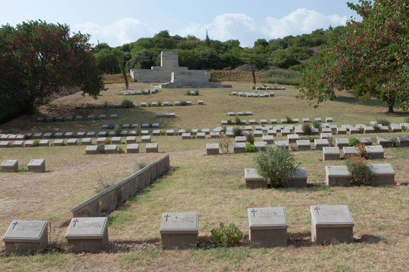
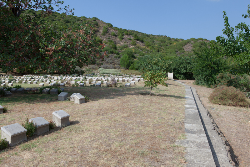
The eight month campaign in Gallipoli was fought by Commonwealth and French forces in an attempt to force Turkey out of the war, to relieve the deadlock of the Western Front in France and Belgium, and to open a supply route to Russia through the Dardanelles and the Black Sea. The Allies landed on the peninsula on 25-26 April 1915; the 29th Division at Cape Helles in the south and the Australian and New Zealand Corps north of Gaba Tepe on the west coast, an area soon known as Anzac. Shrapnel Valley was an essential road from the beach up to the Anzac front and took its name from the heavy shelling it was given by the Turks on 26 April 1915. Wells were sunk there and water obtained in small quantities, and there were camps and depots on the south side of its lower reaches. Gun positions were made near its mouth. The cemetery was made mainly during the occupation, but some isolated graves were brought in from the valley after the Armistice. There are now 683 Commonwealth servicemen buried or commemorated in this cemetery. 85 of the burials are unidentified but special memorials commemorate 23 casualties known or believed to be buried among them.
Add new comment