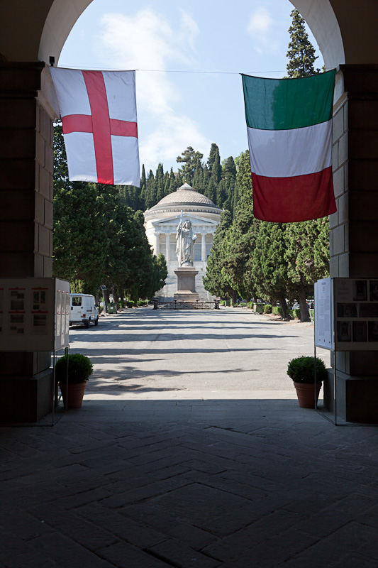
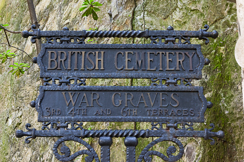
Exit at the A12 autostrada at Genova East and follow the signs for the direction of Genova. The road leads down a steep hill through several tunnels. At the bottom of the hill turn right and follow the road for a short distance alongside the riverbed. Take the first bridge to the left and cross to the opposite side of the river and turn left. Due to the one-way traffic system it is now necessary to cross the river again. Take the first bridge to the left, then turn left at the opposite bank. Take the first right just past a very small bus depot. A large Italian communal cemetery is visible on the right. Parking is available outside the communal cemetery. Walk through the large entrance gate into the communal cemetery and follow the road straight ahead. Signs for 'British Cemetery' are seen on the right after approximately 300 metres. Cemetery address: Piazzale Resasco - 16100 Genoa (GE) Liguria. GPS Co-ordinates: Latitude: 44.428463, Longitude: 8.952248.
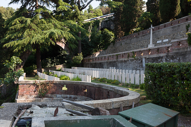
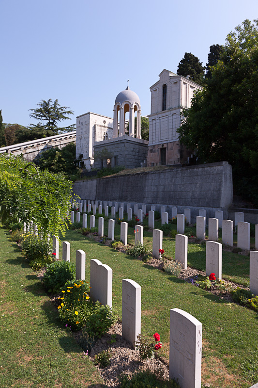
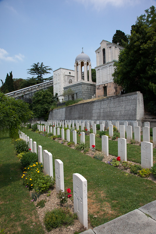
The Italians entered the war on the Allied side, declaring war on Austria, in May 1915. Commonwealth forces were at the Italian front between November 1917 and November 1918, and rest camps and medical units were established at various locations in northern Italy behind the front, some of them remaining until 1919. From November 1917 to the end of the war, Genoa was a base for commonwealth forces and the 11th General, and 38th and 51st Stationary Hospitals, were posted in the city. Staglieno Cemetery contains 230 Commonwealth burials of the First World War. There are also 122 Second World War graves, most of them garrison burials, whilst others were brought in from the surrounding country. The 1939-45 plot was designed by Louis de Soissons.
Add new comment