Heuvelland, West-Vlaanderen
Kandahar Farm Cemetery is located 10.5 km south of Ieper town centre on the Niewkerkestraat (N314), a road leading from the N365 connecting Ieper to Wijtschate, Mesen and on to Armentieres. From Ieper town centre the Rijselsestraat runs from the market square, through the Lille Gate (Rijselpoort) and directly over the crossroads with the Ieper ring road. The road name then changes to the Rijselseweg. On reaching the town of Mesen the first right hand turning leads onto the Mesenstraat (N314), which carries on to Nieuwkerke, via the village of Wulvergem. The cemetery lies 1 km after passing through the village of Wulvergem, on the left hand side of Nieuwkerkestraat.
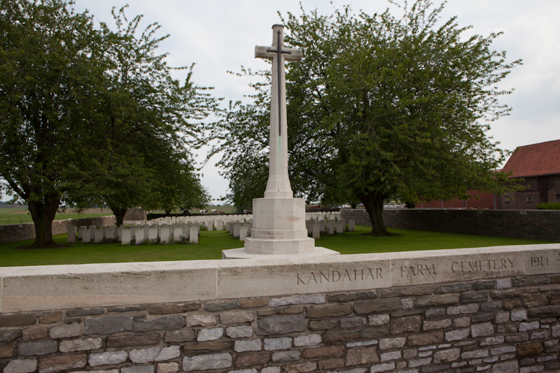
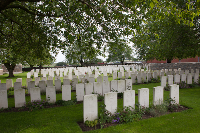
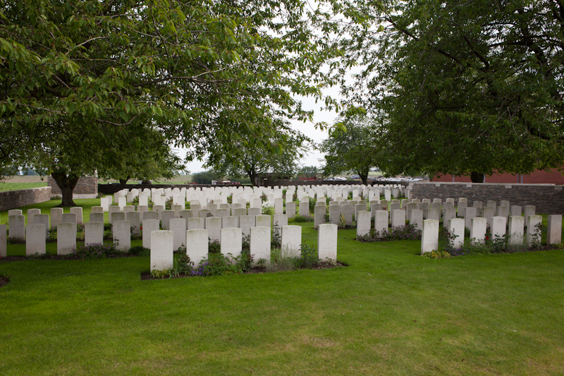
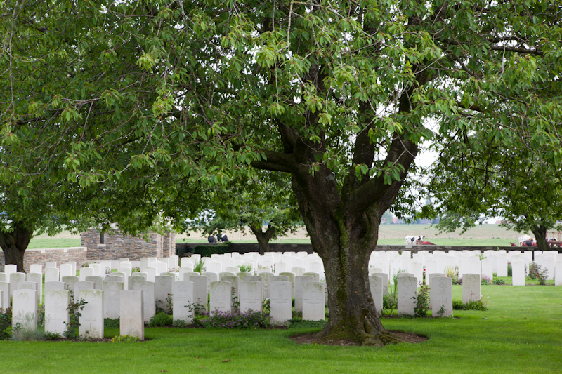
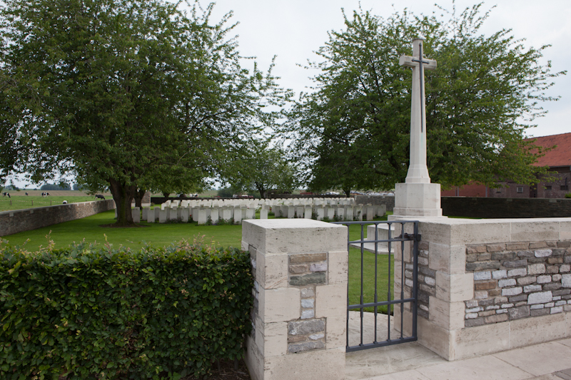
Kandahar Farm was near the village of Wulverghem (now Wulvergem) and for much of the war, the front line ran a little east of the village. The cemetery was used by Commonwealth divisions holding this sector from November 1914 to April 1918, when it fell into German hands with the capture of Wulverghem and Neuve-Eglise (now Nieuwkerke). The two villages were recovered in early September and the cemetery was used again. There are now 443 Commonwealth burials of the First World War in the cemetery. The cemetery was designed by Charles Holden.
Add new comment